


")


The National Geographic Civil War Atlas
Item
Our items are guaranteed for their normal life under standard, non-commercial use.
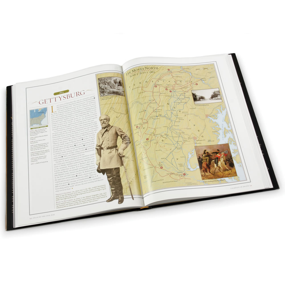
This is the National Geographic atlas that depicts the major battles of the American Civil War through award-winning cartography. Eighty-eight archival maps drawn by military cartographers provide a firsthand account of how Civil War-era mapmakers recorded the campaigns from the first shot fired at Fort Sumter to the Confederate army's surrender at Appomattox. National Geographic cartographers used digital mapping data to create 34 additional maps that show strategic troop movements, all verified by renowned military historian Harris Andrews. Rare birds-eye-view maps from the period--inspired by the view from hot air balloons--provide a vivid, colorful panorama of the battlefields. Detailed text explains the tactics and troop movements shown on the maps and the atlas has over 300 photographs of generals, war artifacts, and combatants. Hardcover. 256 pages. 13 3/4"H x 10 1/2" W.


The affiliated, independent Hammacher Schlemmer Institute was created in 1983 to rigorously research, test and rate products to make the Best products available to our customers.
Learn MoreSave $10 on Your Next Order & be the first to know about our unique new products
*Offer valid on orders over $99
Save $15 on Your Next Order & more exclusive offers when you sign up for text alerts
By signing up via text, you agree to receive recurring automated promotional and personalized marketing text messages (e.g. cart reminders) from Hammacher Schlemmer at the cell number used when signing up. Consent is not a condition of any purchase. Reply HELP for help and STOP to cancel. Msg frequency varies. Msg & data rates may apply. View Terms & Privacy.
 Text Hello to 48186
*Offer valid on orders over $99


